
Inview Assets
Categories
Audio VisualPhotography and videographyPlanning Services
- Hillside House Langely Marsh Wiveliscombe Somerset TA4 2UJ
- 07974 829756
- Send Email
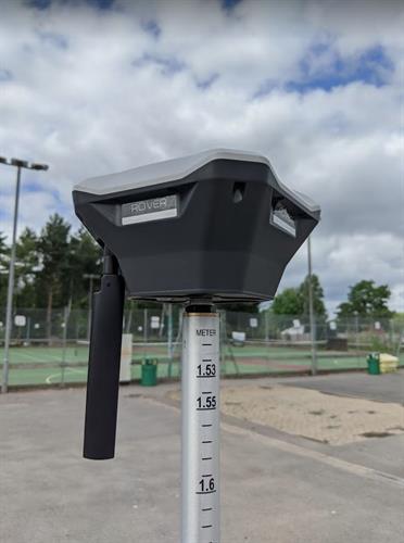
- InView Assets are a RICs Tech Partner provider of survey, data visualisation, aerial and mobile mapping technologies.
Hours:
0900-1900
Driving Directions:
If you need to visit - please call!
About Us
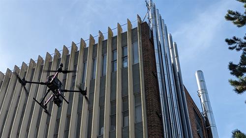
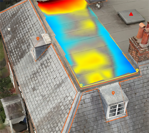
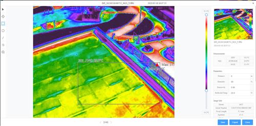
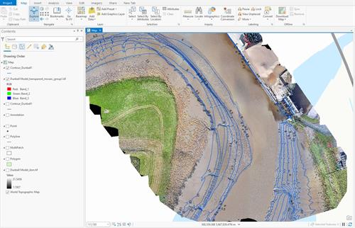
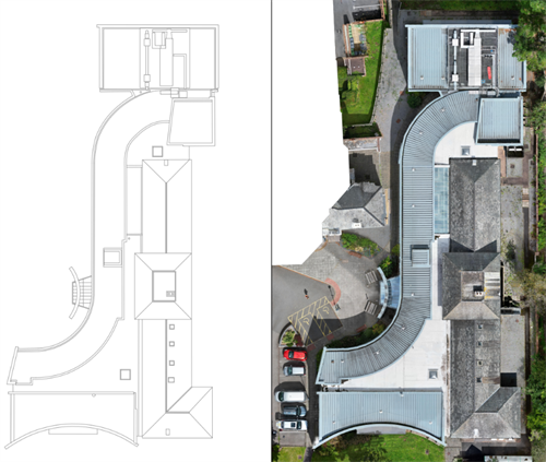
InView Assets are digital data capture specialists for inspection, monitoring and reporting. Our advanced specialist technology means that companies and organisations can reduce costs, increase productivity, improve safety and enhance sustainability.
Our mission is to:
To support organisations through their digital transformation of asset management and remote working
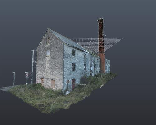
To provide high-resolution immersive imagery and a range of data outputs
To reduce costs, increase productivity, improve safety and enhance sustainability
Video Media
Images
